
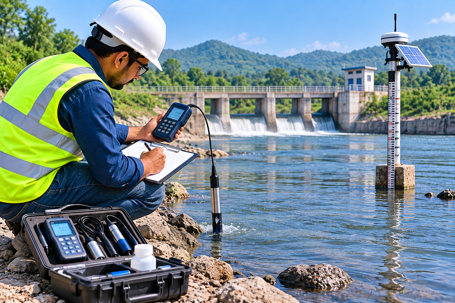
Hydrological Survey
A hydrological survey is an important investigation used to understand the movement, availability and distribution of water within a project area. At OM Test House, hydrological survey services support water resource assessment, drainage planning, infrastructure development and site investigation, according to the specific requirements of each project.
Understanding surface water flow, rainfall patterns, drainage conditions and the characteristics of nearby water bodies helps engineers and planners assess potential water-related challenges. Hydrological information can support decisions relating to stormwater management, flood assessment, water resource planning and sustainable infrastructure development.
What Is a Hydrological Survey?
A hydrological survey involves collecting and evaluating information related to water movement and water conditions within a defined area. Depending on the project, the investigation may consider rainfall, surface runoff, drainage paths, catchment characteristics, water levels and available water resource information.
The survey scope depends on the site, the purpose of the investigation, available records and the technical requirements of the project. The collected information helps project teams understand the relationship between the terrain, rainfall and movement of water across the area.
Surface Water Assessment
Surface water assessment examines the movement and accumulation of water across the ground. It can help identify drainage paths, low-lying areas, surface runoff patterns and locations where water accumulation may affect proposed development.
This information can support site planning and the evaluation of suitable stormwater management measures. Detailed assessment requirements depend on the characteristics of the catchment and the intended use of the results.
Rainfall and Runoff Assessment
Rainfall and runoff assessment considers the relationship between precipitation and the amount of water flowing over the ground. Relevant rainfall records, catchment characteristics, land use and terrain conditions may be evaluated to understand runoff behaviour.
The resulting information can support preliminary drainage planning and engineering investigations. Where design calculations are required, the assessment should use appropriate data, methods and project-specific criteria.
Drainage and Stormwater Assessment
Drainage assessment examines existing drainage routes and the movement of stormwater through a project area. It can help identify possible obstructions, inadequate drainage paths and areas susceptible to waterlogging.
Hydrological information can be used by engineers when planning stormwater drainage arrangements for residential layouts, commercial developments, industrial sites, roads and other infrastructure projects.
Catchment Area Analysis
Catchment analysis identifies the area contributing runoff to a particular drainage point, channel or water body. The assessment may consider terrain, elevation, natural drainage paths and land surface characteristics.
Catchment information helps engineers understand the potential source and direction of surface runoff. It can support drainage planning, runoff estimation and further hydrological investigations.
Water Level and Water Body Assessment
Depending on the project scope, surveys may document water levels and relevant physical features of rivers, streams, ponds, lakes, channels and other surface water bodies. Such information can support site planning and water-related infrastructure investigations.
Water level observations should be recorded with suitable reference information and consideration of seasonal variation wherever relevant. A single observation may not represent changing conditions throughout the year.
Flood Risk and Inundation Assessment
Hydrological studies can contribute to flood risk assessment by examining rainfall, catchment conditions, runoff characteristics and available historical flood information. These inputs may help identify areas requiring more detailed investigation.
Flood modelling and formal flood-risk conclusions may require additional hydrological and hydraulic analysis, suitable data and appropriate engineering expertise. The scope should be defined according to the requirements of the project.
Applications of Hydrological Survey
- Residential Developments: Assessment of surface drainage and runoff considerations for housing layouts and residential complexes.
- Commercial and Industrial Projects: Water movement and drainage assessment for commercial buildings, factories and industrial facilities.
- Road and Highway Projects: Investigation of drainage paths and surface water conditions affecting road infrastructure.
- Water Resource Planning: Collection and evaluation of relevant information for water resource investigations.
- Drainage Infrastructure: Supporting information for stormwater drainage planning and site development.
- Land Development: Identification of low-lying areas and surface runoff considerations before construction.
- Infrastructure Projects: Hydrological information for selected civil engineering and public infrastructure developments.
Hydrological Survey Methodology
The investigation begins with understanding the project objectives, site characteristics and available water-related information. Relevant maps, terrain data, rainfall records and existing drainage details may be reviewed where available.
Depending on the scope, field observations and measurements may be undertaken to document drainage paths, water levels and other relevant site conditions. The collected information is then organized and evaluated using methods appropriate to the investigation.
Benefits of Hydrological Survey
- Helps improve understanding of surface water movement and drainage conditions.
- Supports site planning and infrastructure development.
- Helps identify potential waterlogging and runoff concerns.
- Provides useful information for stormwater management planning.
- Supports water resource investigations and engineering assessments.
- Helps project teams document existing hydrological conditions.
Survey Reports and Documentation
Deliverables depend on the agreed project scope. They may include field observations, drainage feature details, water level records, relevant maps, collected data and technical findings. Where calculations or modelling are required, the necessary inputs and deliverables should be defined before the investigation begins.
Why Choose OM Test House?
OM Test House focuses on understanding project requirements and organizing relevant site information for technical evaluation. A clearly defined hydrological survey scope helps clients obtain useful information for planning, design coordination and water-related infrastructure investigations.
- Survey scope based on project requirements.
- Systematic documentation of relevant site observations.
- Focus on drainage and surface water information.
- Support for civil engineering and infrastructure planning.
- Deliverables defined according to the agreed scope of work.
Who Can Benefit from Our Services?
Hydrological survey services may be relevant to property developers, civil engineers, infrastructure contractors, architects, industrial project owners, planning consultants and organizations undertaking water resource, drainage or site development projects.
Contact OM Test House
If you require a hydrological survey for a land development, drainage, road, industrial or infrastructure project, contact OM Test House. Share your site location, project details and specific water-related investigation requirements so that the appropriate scope of work can be discussed.